Given that each sector allows for 400 unique postcode combinations. Letters C, I, K, M, O and V are not allowed in the last two letters of a postcode. With 215 postcodes already in use, this leaves 185 units available.
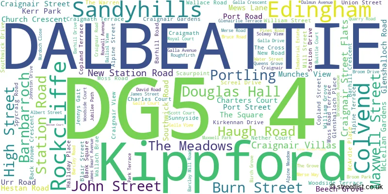
The largest settlement in the DG5 4 postal code is DALBEATTIE followed by Kippford, and Rockcliffe.
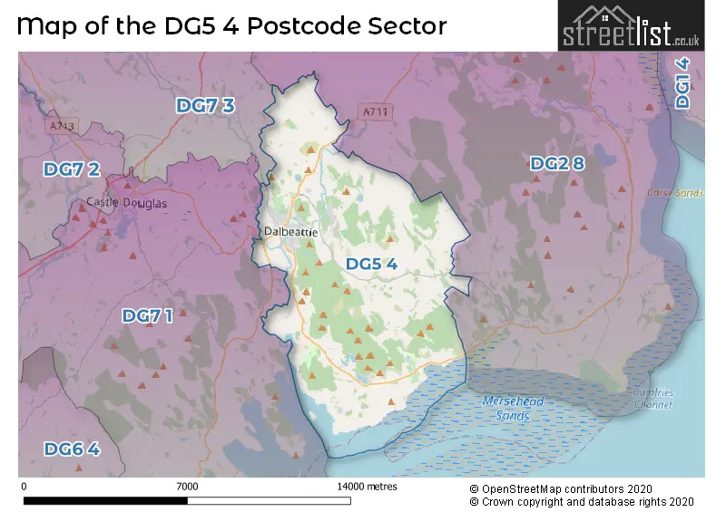
The DG5 4 Postcode shares a border with DG2 8 (Southerness, New Abbey, Crocketford), DG7 1 (CASTLE DOUGLAS, Auchencairn, Palnackie) and DG7 3 (Dalry, New Galloway, Crossmichael).
The sector is within the post town of DALBEATTIE.
DG5 4 is a postcode sector within the DG5 postcode district which is within the DG Dumfries and Galloway postcode area.
The Royal Mail delivery office for the DG5 4 postal sector is the Castle Douglas Delivery Office.
The area of the DG5 4 postcode sector is 33.14 square miles which is 85.84 square kilometres or 21,211.42 square acres.

Map of the DG5 4 Postcode Sector
Explore the DG5 4 postcode sector by using our free interactive map.
| D | G | 5 | - | 4 | X | X |
| D | G | 5 | Space | 4 | Letter | Letter |
Official List of Streets
DALBEATTIE (94 Streets)
Rockcliffe (4 Streets)
Unofficial Streets or Alternative Spellings
| The DG5 4 Sector is within these Local Authorities | |
|---|---|
| The DG5 4 Sector is within these Counties | |
| The DG5 4 Sector is within these Water Company Areas |