The L33 9 postcode sector stands on the Merseyside and Lancashire border.
Did you know? According to the 2021 Census, the L33 9 postcode sector is home to a bustling 2,133 residents!
Given that each sector allows for 400 unique postcode combinations. Letters C, I, K, M, O and V are not allowed in the last two letters of a postcode. With 47 postcodes already in use, this leaves 353 units available.
The largest settlements in the L33 9 postal code are LIVERPOOL and Kirkby.
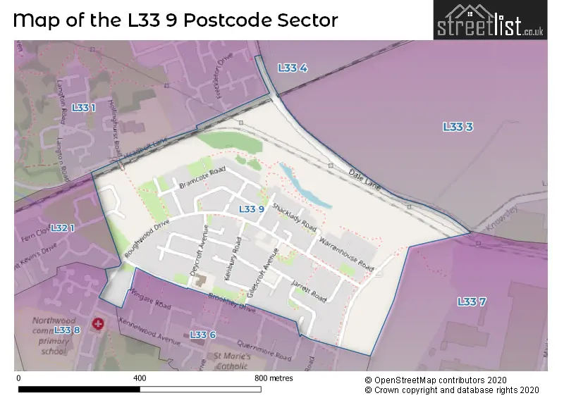
The L33 9 Postcode shares a border with L32 1 (Kirkby, LIVERPOOL), L33 7 (Knowsley Industrial Park, LIVERPOOL, Kirkby), L33 6 (LIVERPOOL, Kirkby), L33 8 (LIVERPOOL, Kirkby), L33 1 (LIVERPOOL, Kirkby), L33 3 (LIVERPOOL, Kirkby, Knowsley Industrial Park) and L33 4 (LIVERPOOL, Kirkby, Simonswood).
The sector is within the post town of LIVERPOOL.
L33 9 is a postcode sector within the L3 postcode district which is within the L Liverpool postcode area.
The Royal Mail delivery office for the L33 9 postal sector is the Liverpool 1-3.
The area of the L33 9 postcode sector is 0.22 square miles which is 0.58 square kilometres or 143.02 square acres.


Map of the L33 9 Postcode Sector
Explore the L33 9 postcode sector by using our free interactive map.
| L | 3 | 3 | - | 9 | X | X |
| L | 3 | 3 | Space | 9 | Letter | Letter |
Official List of Streets
LIVERPOOL (31 Streets)
Kirkby (2 Streets)
Unofficial Streets or Alternative Spellings
House Prices in the L33 9 Postcode Sector
| Type of Property | 2018 Average | 2018 Sales | 2017 Average | 2017 Sales | 2016 Average | 2016 Sales | 2015 Average | 2015 Sales |
|---|---|---|---|---|---|---|---|---|
| Detached | £0 | 0 | £145,000 | 1 | £0 | 0 | £0 | 0 |
| Semi-Detached | £83,500 | 3 | £67,333 | 3 | £77,635 | 7 | £75,000 | 3 |
| Terraced | £59,889 | 9 | £55,063 | 8 | £55,500 | 7 | £62,000 | 7 |
| Flats | £0 | 0 | £0 | 0 | £52,500 | 1 | £0 | 0 |
Important Postcodes L33 9 in the Postcode Sector
L33 9UR is the postcode for Knowsley Northern Primary Support Centre, Bramcote Walk
L33 9UW is the postcode for Overdale Primary School, Roughwood Drive
| The L33 9 Sector is within these Local Authorities |
|
|---|---|
| The L33 9 Sector is within these Counties |
|
| The L33 9 Sector is within these Water Company Areas |
|