Given that each sector allows for 400 unique postcode combinations. Letters C, I, K, M, O and V are not allowed in the last two letters of a postcode. With 208 postcodes already in use, this leaves 192 units available.
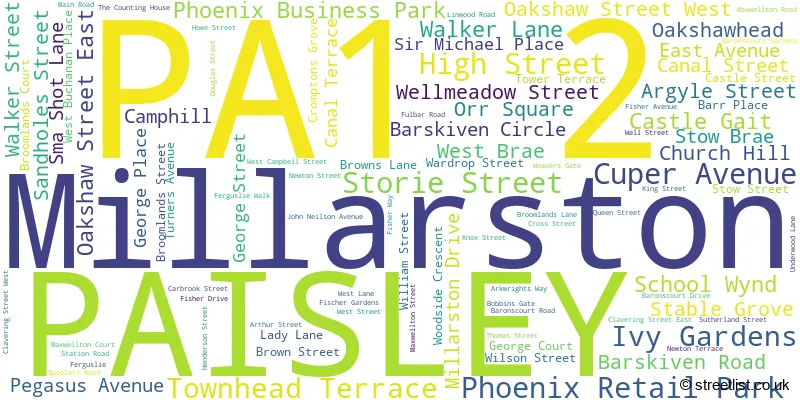
The PA1 2 postal code covers the settlement of PAISLEY.
The PA1 2 Postcode shares a border with PA3 1 (PAISLEY), PA1 1 (PAISLEY), PA2 6 (PAISLEY, Castlehead), PA2 9 (PAISLEY), PA3 2 (PAISLEY, Abbotsinch), PA3 3 (Linwood, PAISLEY) and PA5 9 (Elderslie, JOHNSTONE).
The sector is within the post town of PAISLEY.
PA1 2 is a postcode sector within the PA1 postcode district which is within the PA Paisley postcode area.
The Royal Mail delivery office for the PA1 2 postal sector is the Paisley Delivery Office.
The area of the PA1 2 postcode sector is 1.13 square miles which is 2.92 square kilometres or 720.38 square acres.

Map of the PA1 2 Postcode Sector
Explore the PA1 2 postcode sector by using our free interactive map.
| P | A | 1 | - | 2 | X | X |
| P | A | 1 | Space | 2 | Letter | Letter |
Official List of Streets
PAISLEY (96 Streets)
Unofficial Streets or Alternative Spellings
PAISLEY
AVENGER WAY CAUSEYSIDE STREET GAUZE STREET GILMOUR STREET HILLHEAD DRIVE MOSS STREET NEW STREET SHUTTLE STREET WEIGHHOUSE CLOSE GALLACHER COURT GALLOW GREEN ROAD GEORGE LANE GRIFFEN AVENUE GRIFFIN AVENUE HANNAY STREET LINCLIVE ROUNDABOUT MEETINGHOUSE LANE OAKSHAW BRAE OLD MILL ROAD ORR STREET ROOTERS GROVE ROOTES PLACE SATURN AVENUE ST MIRREN STREET STONEY BRAE TANNAHILLS COURT TERRACE BUILDINGS WEST AVENUE WITHERSPOON STREETCastlehead
MAIN ROADLinwood
BURNBRAE DRIVE BURNBRAE ROAD CANDREN ROAD LINWOOD ROADElderslie
MAIN ROAD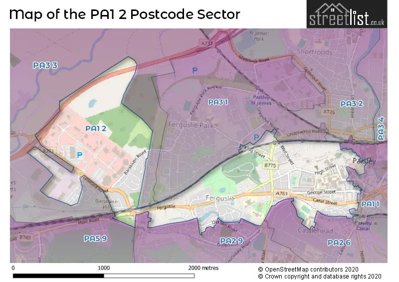
| The PA1 2 Sector is within these Local Authorities | |
|---|---|
| The PA1 2 Sector is within these Counties | |
| The PA1 2 Sector is within these Water Company Areas |