Given that each sector allows for 400 unique postcode combinations. Letters C, I, K, M, O and V are not allowed in the last two letters of a postcode. With 112 postcodes already in use, this leaves 288 units available.
The PA12 4 postal code covers the settlement of LOCHWINNOCH.
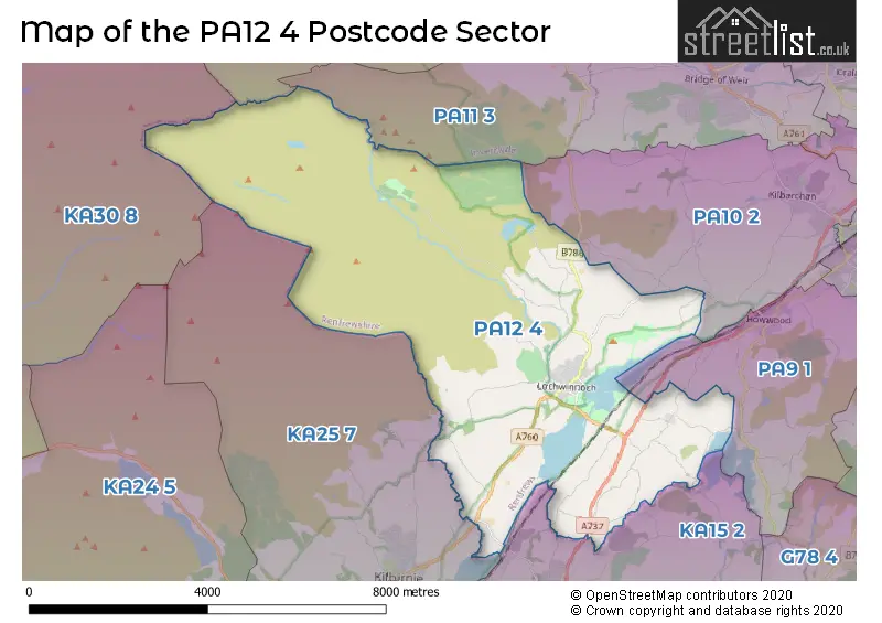
The PA12 4 Postcode shares a border with PA9 1 (Howwood), PA10 2 (Kilbarchan), PA11 3 (BRIDGE OF WEIR, Quarrier's Village), PA13 4 (KILMACOLM), KA30 8 (LARGS), KA15 2 (BEITH, Gateside) and KA25 7 (KILBIRNIE).
The sector is within the post town of LOCHWINNOCH.
PA12 4 is a postcode sector within the PA1 postcode district which is within the PA Paisley postcode area.
The Royal Mail delivery office for the PA12 4 postal sector is the unknown.
The area of the PA12 4 postcode sector is 22.56 square miles which is 58.44 square kilometres or 14,439.77 square acres.

Map of the PA12 4 Postcode Sector
Explore the PA12 4 postcode sector by using our free interactive map.
| P | A | 1 | 2 | - | 4 | X | X |
| P | A | 1 | 2 | Space | 4 | Letter | Letter |
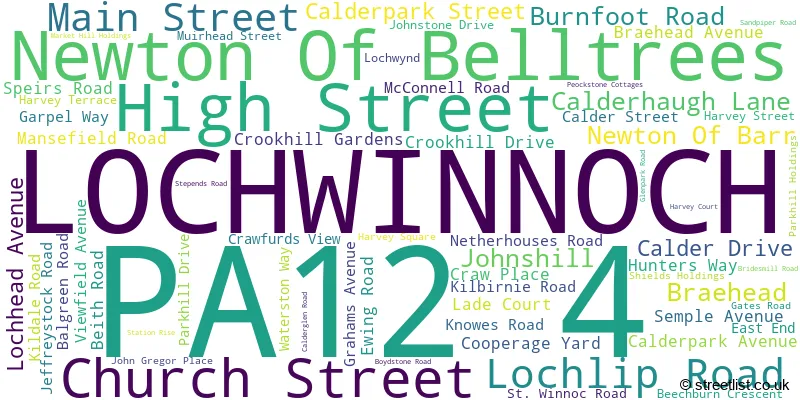
Official List of Streets
LOCHWINNOCH (63 Streets)
Unofficial Streets or Alternative Spellings
| The PA12 4 Sector is within these Local Authorities | |
|---|---|
| The PA12 4 Sector is within these Counties | |
| The PA12 4 Sector is within these Water Company Areas |