Given that each sector allows for 400 unique postcode combinations. Letters C, I, K, M, O and V are not allowed in the last two letters of a postcode. With 192 postcodes already in use, this leaves 208 units available.
The PA16 8 postal code covers the settlement of GREENOCK.
The PA16 8 Postcode shares a border with PA15 1 (GREENOCK), PA15 4 (GREENOCK), PA16 7 (GREENOCK) and PA16 9 (GREENOCK).
The sector is within the post town of GREENOCK.
PA16 8 is a postcode sector within the PA1 postcode district which is within the PA Paisley postcode area.
The Royal Mail delivery office for the PA16 8 postal sector is the unknown.
The area of the PA16 8 postcode sector is 0.76 square miles which is 1.98 square kilometres or 488.52 square acres.

Map of the PA16 8 Postcode Sector
Explore the PA16 8 postcode sector by using our free interactive map.
| P | A | 1 | 6 | - | 8 | X | X |
| P | A | 1 | 6 | Space | 8 | Letter | Letter |
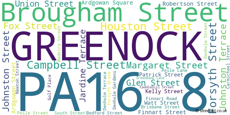
Official List of Streets
GREENOCK (34 Streets)
Unofficial Streets or Alternative Spellings
GREENOCK
BOW ROAD CLARENCE STREET ELDON STREET ESPLANADE GREY PLACE HAIG STREET HOOD STREET INVERKIP ROAD INVERKIP STREET IONA STREET JAMAICA LANE JAMAICA STREET LYLE ROAD NELSON STREET NEWARK STREET NICOLSON STREET RANKIN STREET WEST BLACKHALL STREET CAMPBELL COURT DARDANELLES GREENBANK MEWS HARWOOD COURT HERITAGE COURT KER STREET REDWOOD COURT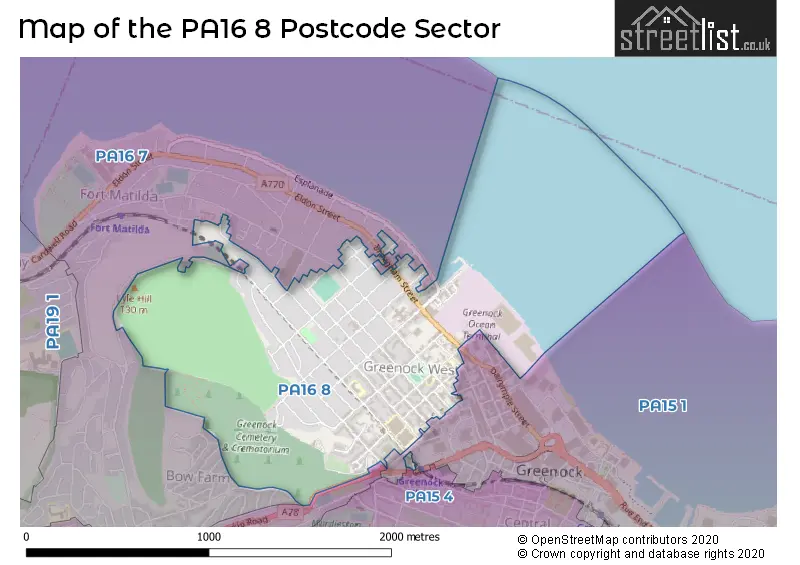
| The PA16 8 Sector is within these Local Authorities | |
|---|---|
| The PA16 8 Sector is within these Counties | |
| The PA16 8 Sector is within these Water Company Areas |