The B18 6 postcode sector is within the county of West Midlands.
Did you know? According to the 2021 Census, the B18 6 postcode sector is home to a bustling 2,326 residents!
Given that each sector allows for 400 unique postcode combinations. Letters C, I, K, M, O and V are not allowed in the last two letters of a postcode. With 102 postcodes already in use, this leaves 298 units available.
The largest settlements in the B18 6 postal code are BIRMINGHAM and Hockley.
The B18 6 Postcode shares a border with B18 5 (Hockley, BIRMINGHAM), B19 3 (BIRMINGHAM, Hockley), B1 3 (BIRMINGHAM), B3 1 (BIRMINGHAM) and B18 7 (BIRMINGHAM, Hockley).
The sector is within the post town of BIRMINGHAM.
B18 6 is a postcode sector within the B1 postcode district which is within the B Birmingham postcode area.
The Royal Mail delivery office for the B18 6 postal sector is the unknown.
The area of the B18 6 postcode sector is 0.18 square miles which is 0.46 square kilometres or 112.73 square acres.

Map of the B18 6 Postcode Sector
Explore the B18 6 postcode sector by using our free interactive map.
| B | 1 | 8 | - | 6 | X | X |
| B | 1 | 8 | Space | 6 | Letter | Letter |
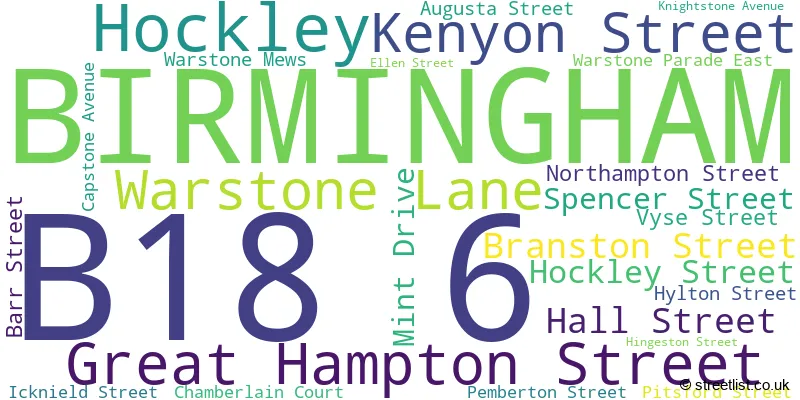
Official List of Streets
BIRMINGHAM (19 Streets)
Unofficial Streets or Alternative Spellings
Schools and Places of Education Within the B18 6 Postcode Sector
Brookfields Primary School
Academy sponsor led
2 Hingeston Street, Birmingham, , B18 6PU
Head: Mrs Leanne Mahony
Ofsted Rating: Good
Inspection: 2023-03-14 (436 days ago)
Website: Visit Brookfields Primary School Website
Phone: 01216751897
Number of Pupils: 331

House Prices in the B18 6 Postcode Sector
| Type of Property | 2018 Average | 2018 Sales | 2017 Average | 2017 Sales | 2016 Average | 2016 Sales | 2015 Average | 2015 Sales |
|---|---|---|---|---|---|---|---|---|
| Detached | £0 | 0 | £0 | 0 | £0 | 0 | £0 | 0 |
| Semi-Detached | £0 | 0 | £0 | 0 | £0 | 0 | £0 | 0 |
| Terraced | £260,000 | 1 | £121,833 | 3 | £232,520 | 5 | £274,750 | 4 |
| Flats | £205,409 | 71 | £205,271 | 75 | £190,279 | 187 | £171,533 | 69 |
Important Postcodes B18 6 in the Postcode Sector
B18 6HA is the postcode for Museum of the Jewellery Quarter, 75-79 Vyse Street
B18 6PU is the postcode for Brookfields Primary School, Ellen Street, and Brookfields Junior & Infant School, 2 Hingeston Street
| The B18 6 Sector is within these Local Authorities |
|
|---|---|
| The B18 6 Sector is within these Counties |
|
| The B18 6 Sector is within these Water Company Areas |
|
Tourist Attractions within the B18 6 Postcode Area
We found 1 visitor attractions within the B1 postcode area
| Museum of the Jewellery Quarter |
|---|
| Museums & Art Galleries |
| Museum and / or Art Gallery |
| View Museum of the Jewellery Quarter on Google Maps |