Given that each sector allows for 400 unique postcode combinations. Letters C, I, K, M, O and V are not allowed in the last two letters of a postcode. With 238 postcodes already in use, this leaves 162 units available.
The largest settlement in the G84 8 postal code is HELENSBURGH followed by Rhu, and Shandon.
The G84 8 Postcode shares a border with G84 0 (Garelochhead, Rosneath, Kilcreggan), G83 8 (Balloch, ALEXANDRIA, Gartocharn), G84 7 (HELENSBURGH) and G84 9 (HELENSBURGH).
The sector is within the post town of HELENSBURGH.
G84 8 is a postcode sector within the G84 postcode district which is within the G Glasgow postcode area.
The Royal Mail delivery office for the G84 8 postal sector is the Helensburgh Delivery Office.
The area of the G84 8 postcode sector is 7.72 square miles which is 19.99 square kilometres or 4,939.05 square acres.

Map of the G84 8 Postcode Sector
Explore the G84 8 postcode sector by using our free interactive map.
| G | 8 | 4 | - | 8 | X | X |
| G | 8 | 4 | Space | 8 | Letter | Letter |
Official List of Streets
Rhu (42 Streets)
HELENSBURGH (51 Streets)
Unofficial Streets or Alternative Spellings
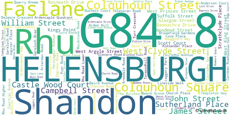
HELENSBURGH
EAST CLYDE STREET EAST KING STREET LOWER SUTHERLAND CRESCENT MILLIG STREET STAFFORD STREET UPPER SUTHERLAND CRESCENT WEST MONTROSE STREET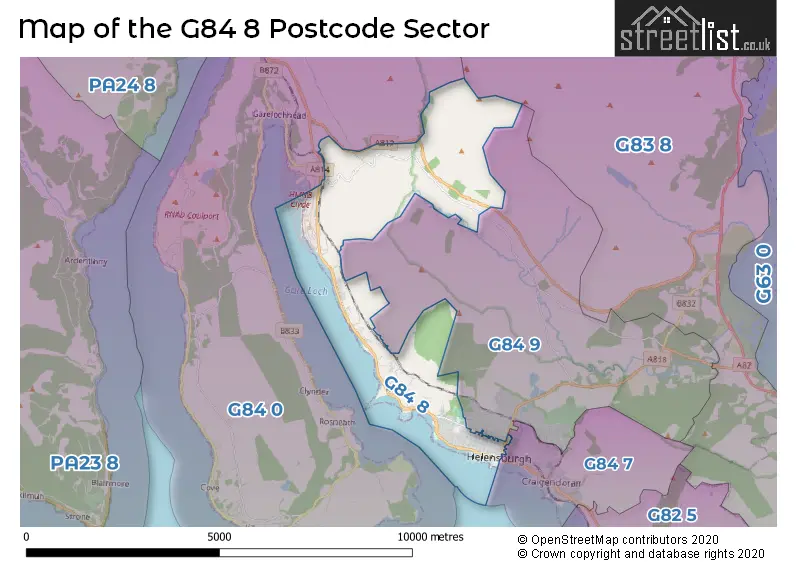
| The G84 8 Sector is within these Local Authorities | |
|---|---|
| The G84 8 Sector is within these Counties | |
| The G84 8 Sector is within these Water Company Areas |