The TR2 postcode district is a postal district located in the PL Plymouth postcode area with a population of 10,506 residents according to the 2021 England and Wales Census.
The area of the TR2 postcode district is 69.17 square miles which is 179.14 square kilometres or 44,266.70 acres.
Currently, the TR2 district has about 529 postcode units spread across 2 geographic postcode sectors.
Given that each sector allows for 400 unique postcode combinations, the district has a capacity of 800 postcodes. With 529 postcodes already in use, this leaves 271 units available.
The largest settlement in the TR2 postal code is Probus followed by Portscatho, and St. Mawes.
The postcode area has a boundary with The English Channel and Falmouth Harbour.
The TR2 Postcode shares a border with TR1 (TRURO, Gloweth, Treliske), TR4 (Chacewater, Mount Hawke, Goonhavern), PL26 (Roche, Bugle, Mevagissey) and TR8 (Crantock, Nansledan, Quintrell Downs).
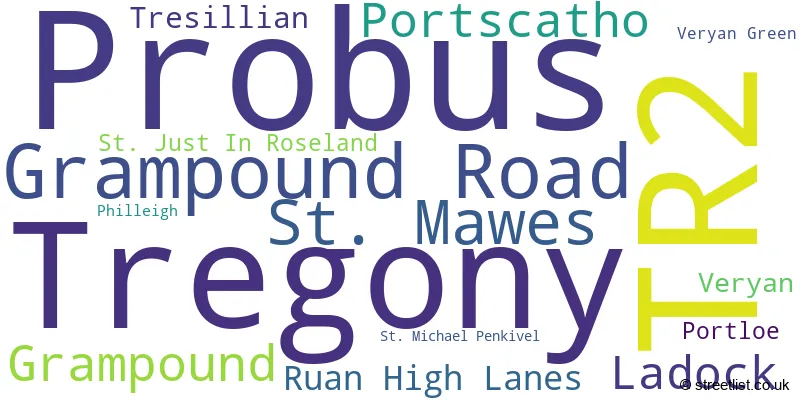
The primary settlement in the TR2 postcode district is Grampound, located in the county of Cornwall in England. Other significant settlements in the district are Grampound Road, Ladock, Probus, St. Michael Penkivel, and Tresillian. The most significant Post Town in the district is Truro.
For the district TR2, we have data on 2 postcode sectors. Here's a breakdown: The sector TR2 4, covers Probus and Grampound Road and Grampound and Ladock and Tresillian in Cornwall. The sector TR2 5, covers Tregony and St. Mawes and Portscatho and Ruan High Lanes in Cornwall.

Map of the TR2 Postcode District
Explore the TR2 postcode district by using our free interactive map.

When it comes to local government, postal geography often disregards political borders. However, for a breakdown in the TR2 District: the district mostly encompasses the Cornwall area with a total of 533 postcodes.
Where is the TR2 Postcode District?
The postcode district TR2 is located in Truro, which is a town in Cornwall. Truro is surrounded by several nearby towns, including St. Austell, Newquay, Penryn, Perranporth, and St. Agnes. The distance from Truro to London is 227.49646606411866 miles.
The district is within the post town of TRURO.
The sector has postcodes within the nation of England.
The TR2 Postcode District is in the Cornwall and Isles of Scilly region of Cornwall and Isles of Scilly within the South West (England).
| Postcode Sector | Delivery Office |
|---|---|
| TR2 4 | Probus Scale Payment Delivery Office |
| TR2 4 | Truro Delivery Office |
| TR2 5 | Truro Delivery Office |
| TR2 5 | St. Mawes Scale Payment Delivery Office |
| TR2 5 | Tregony Scale Payment Delivery Office |
| TR2 5 | Portscatho Scale Payment Delivery Office |
| TR2 5 | Portloe Scale Payment Delivery Office |
| T | R | 2 | - | X | X | X |
| T | R | 2 | Space | Numeric | Letter | Letter |
Tourist Attractions within the TR2 Postcode Area
We found 1 visitor attractions within the TR2 postcode area
| St Mawes Castle |
|---|
| Historic Properties |
| Castle / Fort |
| View St Mawes Castle on Google Maps |
Current Monthly Rental Prices
| # Bedrooms | Min Price | Max Price | Avg Price |
|---|---|---|---|
| £42 | £42 | £42 | |
| 1 | £775 | £1,000 | £863 |
| 2 | £850 | £1,300 | £1,083 |
| 3 | £1,100 | £1,375 | £1,231 |
Current House Prices
| # Bedrooms | Min Price | Max Price | Avg Price |
|---|---|---|---|
| £7,500 | £325,000 | £188,500 | |
| 1 | £170,000 | £295,000 | £211,000 |
| 2 | £90,000 | £795,000 | £372,240 |
| 3 | £250,000 | £875,000 | £459,650 |
| 4 | £285,000 | £3,500,000 | £958,394 |
| 5 | £450,000 | £1,950,000 | £1,198,889 |
| 6 | £725,000 | £2,750,000 | £2,056,667 |
| 7 | £2,350,000 | £2,350,000 | £2,350,000 |
| 8 | £4,000,000 | £4,000,000 | £4,000,000 |
| 10 | £1,500,000 | £1,500,000 | £1,500,000 |
Estate Agents who Operate in the TR2 District
| Logo | Name | Brand Name | Address | Contact Number | Total Properties |
|---|---|---|---|---|---|
 | Truro | Philip Martin | 9 Cathedral Lane, Truro, TR1 2QS | 01872 304130 | 28 |
 | St Mawes | H Tiddy | The Square, St. Mawes, TR2 5AG | 01326 331658 | 25 |
 | Truro | Stags | 61 Lemon Street, Truro, TR1 2PE | 01872 309099 | 5 |
 | Truro | Cornish Bricks | 22 Pydar Street, Truro, TR1 2AY | 01872 303670 | 5 |
 | Truro | Clive Pearce Property | 31 Lemon Street Truro TR1 2LS | 01872 304021 | 4 |
Yearly House Price Averages for the TR2 Postcode District
| Type of Property | 2018 Average | 2018 Sales | 2017 Average | 2017 Sales | 2016 Average | 2016 Sales | 2015 Average | 2015 Sales |
|---|---|---|---|---|---|---|---|---|
| Detached | £541,861 | 89 | £494,712 | 110 | £488,775 | 100 | £479,268 | 90 |
| Semi-Detached | £254,816 | 47 | £266,707 | 40 | £265,618 | 40 | £212,268 | 42 |
| Terraced | £242,948 | 68 | £284,529 | 60 | £263,648 | 68 | £246,244 | 37 |
| Flats | £254,751 | 19 | £195,265 | 13 | £239,845 | 19 | £215,017 | 15 |