The AL5 2 postcode sector is within the county of Hertfordshire.
Did you know? According to the 2021 Census, the AL5 2 postcode sector is home to a bustling 4,668 residents!
Given that each sector allows for 400 unique postcode combinations. Letters C, I, K, M, O and V are not allowed in the last two letters of a postcode. With 243 postcodes already in use, this leaves 157 units available.
The AL5 2 postal code covers the settlement of HARPENDEN.
The AL5 2 Postcode shares a border with AL3 6 (ST. ALBANS, Childwickbury, Gorhambury), AL3 7 (Redbourn), AL5 1 (HARPENDEN), AL5 3 (HARPENDEN) and AL5 4 (HARPENDEN).
The sector is within the post town of HARPENDEN.
AL5 2 is a postcode sector within the AL5 postcode district which is within the AL St Albans postcode area.
The Royal Mail delivery office for the AL5 2 postal sector is the Harpenden Delivery Office.
The area of the AL5 2 postcode sector is 2.72 square miles which is 7.04 square kilometres or 1,739.69 square acres.

Map of the AL5 2 Postcode Sector
Explore the AL5 2 postcode sector by using our free interactive map.
| A | L | 5 | - | 2 | X | X |
| A | L | 5 | Space | 2 | Letter | Letter |
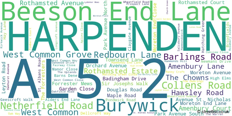
Official List of Streets
HARPENDEN (78 Streets)
Unofficial Streets or Alternative Spellings
HARPENDEN
BYRON ROAD CLARENCE ROAD CROSS LANE HOLLYBUSH LANE SOUTHDOWN ROAD STATION ROAD SUN LANE THE PUTTERILLS THOMPSONS CLOSE TOWNSEND ROAD VAUGHAN ROAD BOWERS PARADE BROAD OAKS CLOSE BULL ROAD COACH LANE COOPERS MEWS FLOWTON GROVE GEESROFT WALK GLENDALE CLOSE GREYFRIARS LANE LAVENDON MAPLE COTTAGES PARK VIEW REDBOURN BYPASS REDCOTE END SOUTHGATE COURT THE BOURNE THE DRIVE THE HAMMONDS THE NICKEY LINERedbourn
HARPENDEN LANEChildwickbury
HARPENDEN ROADWeather Forecast for AL5 2
Press Button to Show Forecast for Rothamsted
| Time Period | Icon | Description | Temperature | Rain Probability | Wind |
|---|---|---|---|---|---|
| 06:00 to 09:00 | Heavy rain | 5.0°C (feels like 2.0°C) | 80.00% | NE 9 mph | |
| 09:00 to 12:00 | Light rain | 6.0°C (feels like 3.0°C) | 46.00% | NE 11 mph | |
| 12:00 to 15:00 | Overcast | 9.0°C (feels like 6.0°C) | 15.00% | NE 11 mph | |
| 15:00 to 18:00 | Cloudy | 11.0°C (feels like 9.0°C) | 10.00% | NNE 11 mph | |
| 18:00 to 21:00 | Cloudy | 10.0°C (feels like 7.0°C) | 57.00% | NE 11 mph | |
| 21:00 to 00:00 | Light rain | 8.0°C (feels like 5.0°C) | 61.00% | NNE 9 mph |
Press Button to Show Forecast for Rothamsted
| Time Period | Icon | Description | Temperature | Rain Probability | Wind |
|---|---|---|---|---|---|
| 00:00 to 03:00 | Heavy rain | 7.0°C (feels like 4.0°C) | 85.00% | NNE 11 mph | |
| 03:00 to 06:00 | Heavy rain | 7.0°C (feels like 4.0°C) | 87.00% | NNE 11 mph | |
| 06:00 to 09:00 | Heavy rain | 7.0°C (feels like 4.0°C) | 89.00% | NNW 9 mph | |
| 09:00 to 12:00 | Heavy rain | 8.0°C (feels like 6.0°C) | 83.00% | NW 9 mph | |
| 12:00 to 15:00 | Light rain | 9.0°C (feels like 7.0°C) | 56.00% | WNW 11 mph | |
| 15:00 to 18:00 | Overcast | 10.0°C (feels like 7.0°C) | 22.00% | W 11 mph | |
| 18:00 to 21:00 | Cloudy | 9.0°C (feels like 8.0°C) | 10.00% | W 9 mph | |
| 21:00 to 00:00 | Cloudy | 7.0°C (feels like 6.0°C) | 7.00% | SW 7 mph |
Press Button to Show Forecast for Rothamsted
| Time Period | Icon | Description | Temperature | Rain Probability | Wind |
|---|---|---|---|---|---|
| 00:00 to 03:00 | Clear night | 6.0°C (feels like 4.0°C) | 3.00% | SW 7 mph | |
| 03:00 to 06:00 | Clear night | 5.0°C (feels like 3.0°C) | 2.00% | SW 4 mph | |
| 06:00 to 09:00 | Sunny day | 6.0°C (feels like 4.0°C) | 1.00% | S 7 mph | |
| 09:00 to 12:00 | Partly cloudy (day) | 11.0°C (feels like 8.0°C) | 1.00% | SSW 11 mph | |
| 12:00 to 15:00 | Cloudy | 13.0°C (feels like 11.0°C) | 6.00% | S 11 mph | |
| 15:00 to 18:00 | Partly cloudy (day) | 14.0°C (feels like 11.0°C) | 3.00% | S 13 mph | |
| 18:00 to 21:00 | Sunny day | 12.0°C (feels like 10.0°C) | 2.00% | S 11 mph | |
| 21:00 to 00:00 | Clear night | 9.0°C (feels like 7.0°C) | 2.00% | SSE 7 mph |
Press Button to Show Forecast for Rothamsted
| Time Period | Icon | Description | Temperature | Rain Probability | Wind |
|---|---|---|---|---|---|
| 00:00 to 03:00 | Clear night | 8.0°C (feels like 6.0°C) | 3.00% | SE 7 mph | |
| 03:00 to 06:00 | Clear night | 7.0°C (feels like 5.0°C) | 5.00% | ESE 7 mph | |
| 06:00 to 09:00 | Partly cloudy (day) | 8.0°C (feels like 6.0°C) | 5.00% | ESE 7 mph | |
| 09:00 to 12:00 | Partly cloudy (day) | 13.0°C (feels like 11.0°C) | 6.00% | SE 9 mph | |
| 12:00 to 15:00 | Cloudy | 15.0°C (feels like 13.0°C) | 13.00% | SE 11 mph | |
| 15:00 to 18:00 | Cloudy | 15.0°C (feels like 13.0°C) | 14.00% | SE 11 mph | |
| 18:00 to 21:00 | Partly cloudy (day) | 14.0°C (feels like 13.0°C) | 10.00% | SE 9 mph | |
| 21:00 to 00:00 | Cloudy | 11.0°C (feels like 10.0°C) | 11.00% | ESE 7 mph |
Schools and Places of Education Within the AL5 2 Postcode Sector
St Nicholas CofE VA Primary School
Voluntary aided school
Church Green, Harpenden, Hertfordshire, AL5 2TP
Head: Mrs Rizelle Crouch
Ofsted Rating: Good
Inspection: 2022-03-24 (765 days ago)
Website: Visit St Nicholas CofE VA Primary School Website
Phone: 01582623620
Number of Pupils: 147

House Prices in the AL5 2 Postcode Sector
| Type of Property | 2018 Average | 2018 Sales | 2017 Average | 2017 Sales | 2016 Average | 2016 Sales | 2015 Average | 2015 Sales |
|---|---|---|---|---|---|---|---|---|
| Detached | £1,604,481 | 47 | £1,778,082 | 51 | £1,476,176 | 59 | £1,660,076 | 65 |
| Semi-Detached | £866,667 | 6 | £1,075,000 | 7 | £871,167 | 6 | £1,004,333 | 6 |
| Terraced | £658,750 | 8 | £634,643 | 7 | £850,000 | 1 | £446,667 | 9 |
| Flats | £634,570 | 19 | £833,750 | 12 | £856,997 | 19 | £691,616 | 27 |
Important Postcodes AL5 2 in the Postcode Sector
AL5 2BT is the postcode for The Village Surgery, Amenbury Lane
AL5 2HU is the postcode for Harpenden Leisure Centre, Leyton Road, Harpenden Sports Centre, Leyton Road, and HARPENDEN POOL, Harpenden Sports Centre, Leyton Road
AL5 2RU is the postcode for Harpenden Library, 27 High Street
| The AL5 2 Sector is within these Local Authorities |
|
|---|---|
| The AL5 2 Sector is within these Counties |
|
| The AL5 2 Sector is within these Water Company Areas |
|