The BA5 3 postcode sector is within the county of Somerset.
Did you know? According to the 2021 Census, the BA5 3 postcode sector is home to a bustling 4,660 residents!
Given that each sector allows for 400 unique postcode combinations. Letters C, I, K, M, O and V are not allowed in the last two letters of a postcode. With 211 postcodes already in use, this leaves 189 units available.
The largest settlement in the BA5 3 postal code is WELLS followed by Croscombe, and Priddy.
The BA5 3 Postcode shares a border with BA3 4 (Chilcompton, Westfield, Midsomer Norton), BA4 4 (SHEPTON MALLET, Pilton, Doulting), BA4 5 (SHEPTON MALLET, Bowlish), BA5 1 (WELLS, Wookey, Westbury Sub Mendip), BS40 6 (East Harptree, Compton Martin, West Harptree), BS40 7 (Blagdon, Butcombe, Burrington), BA5 2 (WELLS) and BS27 3 (CHEDDAR, Draycott, Rodney Stoke).
The sector is within the post town of WELLS.
BA5 3 is a postcode sector within the BA5 postcode district which is within the BA Bath postcode area.
The Royal Mail delivery office for the BA5 3 postal sector is the Wells Delivery Office.
The area of the BA5 3 postcode sector is 26.66 square miles which is 69.04 square kilometres or 17,060.24 square acres.
Waterways within the BA5 3 postcode sector include the River Steppey.

Map of the BA5 3 Postcode Sector
Explore the BA5 3 postcode sector by using our free interactive map.
| B | A | 5 | - | 3 | X | X |
| B | A | 5 | Space | 3 | Letter | Letter |
Official List of Streets
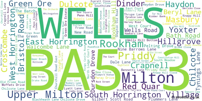
WELLS (38 Streets)
Haydon (5 Streets)
Croscombe (19 Streets)
East Horrington (3 Streets)
Chilcote (3 Streets)
Dinder (6 Streets)
Crapnell (2 Streets)
Priddy (9 Streets)
Dulcote (2 Streets)
Rookham (2 Streets)
South Horrington Village (10 Streets)
Green Ore (2 Streets)
Masbury (2 Streets)
Upper Milton (1 Streets)
Unofficial Streets or Alternative Spellings
South Horrington Village
EAST COURT LOWER CHAPEL COURT WEST COURTWELLS
LITTLE ENTRY RESERVOIR LANE TOR STREET WOODBURY AVENUEDarshill
WELLS ROADSHEPTON MALLET
KNOWLE LANEWookey Hole
LIME KILN LANEWestbury Sub Mendip
BROAD ROADDraycott
NEW ROADWeather Forecast for BA5 3
Press Button to Show Forecast for Milton Lodge
| Time Period | Icon | Description | Temperature | Rain Probability | Wind |
|---|---|---|---|---|---|
| 03:00 to 06:00 | Cloudy | 6.0°C (feels like 3.0°C) | 6.00% | ENE 7 mph | |
| 06:00 to 09:00 | Cloudy | 6.0°C (feels like 3.0°C) | 8.00% | ENE 9 mph | |
| 09:00 to 12:00 | Cloudy | 8.0°C (feels like 5.0°C) | 11.00% | E 9 mph | |
| 12:00 to 15:00 | Overcast | 9.0°C (feels like 7.0°C) | 18.00% | E 9 mph | |
| 15:00 to 18:00 | Overcast | 9.0°C (feels like 7.0°C) | 21.00% | E 9 mph | |
| 18:00 to 21:00 | Cloudy | 9.0°C (feels like 7.0°C) | 16.00% | E 9 mph | |
| 21:00 to 00:00 | Cloudy | 7.0°C (feels like 4.0°C) | 15.00% | E 9 mph |
Press Button to Show Forecast for Milton Lodge
| Time Period | Icon | Description | Temperature | Rain Probability | Wind |
|---|---|---|---|---|---|
| 00:00 to 03:00 | Cloudy | 6.0°C (feels like 3.0°C) | 14.00% | E 9 mph | |
| 03:00 to 06:00 | Cloudy | 5.0°C (feels like 2.0°C) | 17.00% | ENE 9 mph | |
| 06:00 to 09:00 | Cloudy | 5.0°C (feels like 2.0°C) | 22.00% | ENE 11 mph | |
| 09:00 to 12:00 | Light rain | 8.0°C (feels like 5.0°C) | 49.00% | ENE 11 mph | |
| 12:00 to 15:00 | Overcast | 10.0°C (feels like 7.0°C) | 19.00% | ENE 11 mph | |
| 15:00 to 18:00 | Cloudy | 11.0°C (feels like 8.0°C) | 48.00% | ENE 11 mph | |
| 18:00 to 21:00 | Light rain | 10.0°C (feels like 7.0°C) | 50.00% | NE 11 mph | |
| 21:00 to 00:00 | Light rain | 8.0°C (feels like 5.0°C) | 48.00% | NE 11 mph |
Press Button to Show Forecast for Milton Lodge
| Time Period | Icon | Description | Temperature | Rain Probability | Wind |
|---|---|---|---|---|---|
| 00:00 to 03:00 | Light rain | 7.0°C (feels like 4.0°C) | 49.00% | NE 11 mph | |
| 03:00 to 06:00 | Light rain | 7.0°C (feels like 4.0°C) | 53.00% | NE 11 mph | |
| 06:00 to 09:00 | Light rain | 7.0°C (feels like 4.0°C) | 53.00% | NE 9 mph | |
| 09:00 to 12:00 | Light rain shower (day) | 9.0°C (feels like 6.0°C) | 41.00% | ENE 11 mph | |
| 12:00 to 15:00 | Light rain shower (day) | 11.0°C (feels like 8.0°C) | 45.00% | NW 11 mph | |
| 15:00 to 18:00 | Light rain shower (day) | 11.0°C (feels like 9.0°C) | 41.00% | W 11 mph | |
| 18:00 to 21:00 | Sunny day | 10.0°C (feels like 8.0°C) | 13.00% | NNW 9 mph | |
| 21:00 to 00:00 | Clear night | 7.0°C (feels like 6.0°C) | 6.00% | NW 7 mph |
Schools and Places of Education Within the BA5 3 Postcode Sector
Croscombe Church of England Primary School
Voluntary aided school
Long Street, Wells, Somerset, BA5 3QL
Head: Mr Christopher Partridge
Ofsted Rating: Requires improvement
Inspection: 2023-11-01 (177 days ago)
Website: Visit Croscombe Church of England Primary School Website
Phone: 01749343114
Number of Pupils: 48
Priddy Primary School
Community school
Priddy, Wells, Somerset, BA5 3BE
Head: Mrs Sharon Foxall
Ofsted Rating: Good
Inspection: 2018-09-13 (2052 days ago)
Website: Visit Priddy Primary School Website
Phone: 01749870354
Number of Pupils: 34

House Prices in the BA5 3 Postcode Sector
| Type of Property | 2018 Average | 2018 Sales | 2017 Average | 2017 Sales | 2016 Average | 2016 Sales | 2015 Average | 2015 Sales |
|---|---|---|---|---|---|---|---|---|
| Detached | £429,696 | 23 | £393,231 | 25 | £397,089 | 31 | £407,929 | 21 |
| Semi-Detached | £254,854 | 21 | £263,204 | 41 | £264,939 | 30 | £221,740 | 25 |
| Terraced | £261,000 | 19 | £257,287 | 19 | £260,188 | 16 | £214,202 | 22 |
| Flats | £172,500 | 13 | £170,071 | 14 | £161,996 | 12 | £141,800 | 5 |
Important Postcodes BA5 3 in the Postcode Sector
BA5 3QL is the postcode for Croscombe C Of E School, Long Street, Croscombe
| The BA5 3 Sector is within these Local Authorities |
|
|---|---|
| The BA5 3 Sector is within these Counties |
|
| The BA5 3 Sector is within these Water Company Areas |
|