This section of the site is all about the SR Postcode area, also known as the Sunderland Postal Area. Explore links to the next level to learn more about specific postcode districts such as SR1.
The SR postcode area represents a group of postal districts in the Sunderland area of the United Kingdom. The area code SR stands for the letters s and r in SundeRland. SR has a population of 250,826 and covers an area of 143,500 hectares. Fun fact: 0.39% of the population of Great Britain lives in this area.
The postcode area falls within the following counties: Tyne & Wear (73.98%), Durham (26.02%).
Post Towns and Postcode Districts for the SR Postcode
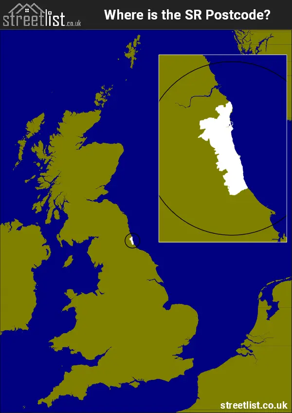
Where is the SR Postcode Area?
The SR Sunderland is in the North East of England. The postal area borders the following neighbouring postal areas: NE - Newcastle upon Tyne, TS - Teeside and DH - Durham, It also borders The North Sea,
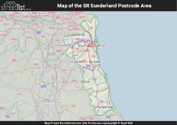
Map of the SR Sunderland Postcode Area
Explore the SR Sunderland postcode area by using our interactive map.
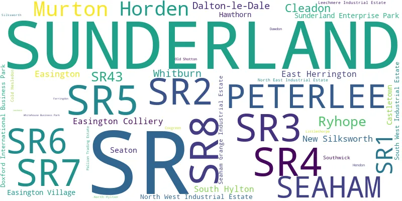
Postcode Districts within the SR Sunderland Postcode Area
There are 8 postcode districts within the Sunderland postcode area
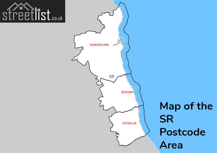
A map showing the boundary of in relation to other areas
There are 4 towns within the Sunderland postcode area.
| Unit | Area² |
|---|---|
| Hectares | 143,500² |
| Miles | 554² |
| Feet | 15,446,196,500² |
| Kilometres | 1,435² |
Postal Delivery Offices serving the SR Sunderland Postcode Area
- Peterlee Delivery Office
- Seaham Delivery Office
- Sunderland Delivery Office