This section of the site is all about the BR Postcode area, also known as the Bromley Postal Area. Explore links to the next level to learn more about specific postcode districts such as BR1.
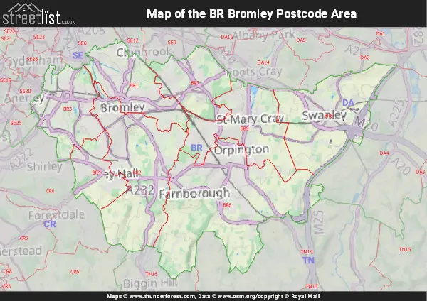
Map of the BR Postcode Area
The BR postcode area represents a group of postal districts in the Bromley area of the United Kingdom. The area code BR stands for the letters b and r in BRomley. BR has a population of 299,293 and covers an area of 144,958 hectares. Fun fact: 0.46% of the population of Great Britain lives in this area.
The postcode area falls within the following counties: Greater London (93.43%), Kent (6.57%).
Post Towns and Postcode Districts for the BR Postcode
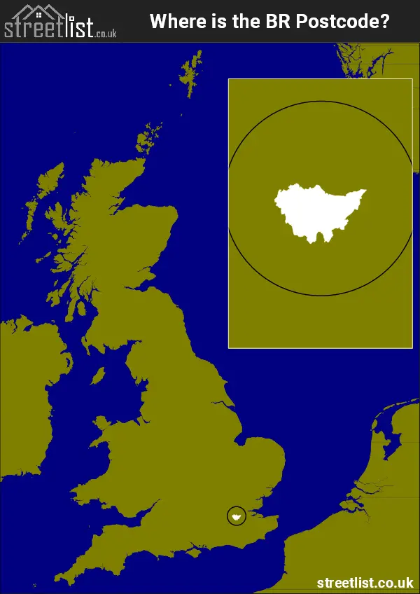
Where is the BR Postcode Area?
The Bromley BR Postcode has it's West in the London Region and it' East in the South East of England. The postal area borders the following neighbouring postal areas: DA - Dartford, CR - Croydon, SE - London - SE and TN - Tonbridge, and is located inland.
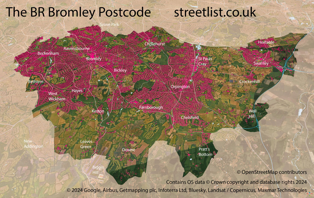
Map of the BR Bromley Postcode Area
Explore the BR Bromley postcode area by using our interactive map.

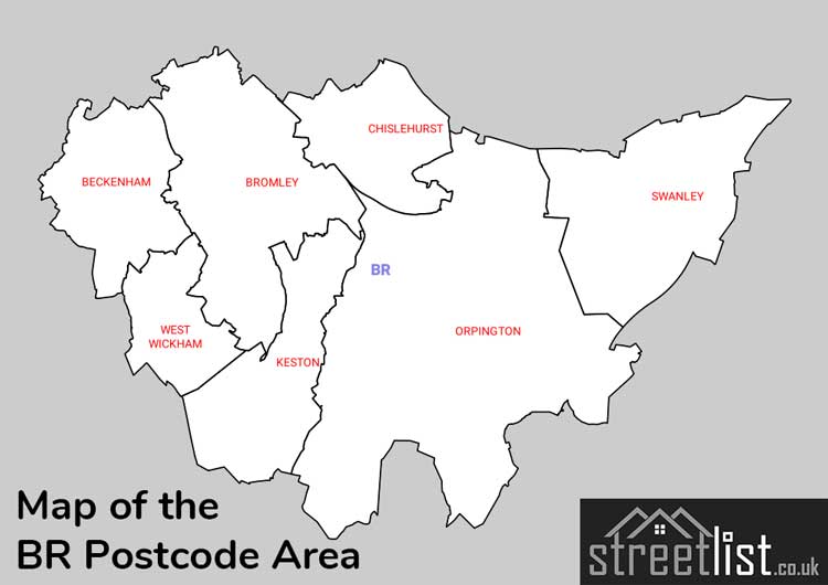
Postcode Districts within the BR Bromley Postcode Area
There are 8 postcode districts within the Bromley postcode area
A map showing the boundary of in relation to other areas
There are 1 towns within the Bromley postcode area.
| Unit | Area² |
|---|---|
| Hectares | 144,958² |
| Miles | 560² |
| Feet | 15,603,134,162² |
| Kilometres | 1,450² |
Postal Delivery Offices serving the BR Bromley Postcode Area
- Beckenham Delivery Office
- Bromley Delivery Office
- Chislehurst Delivery Office
- Orpington Delivery Office
- Swanley Delivery Office
- West Wickham Delivery Office