This section of the site is all about the HA Postcode area, also known as the Harrow Postal Area. Explore links to the next level to learn more about specific postcode districts such as HA0.
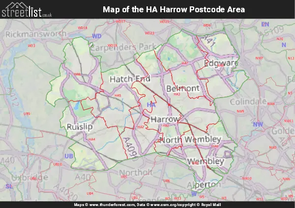
Map of the HA Harrow Postcode
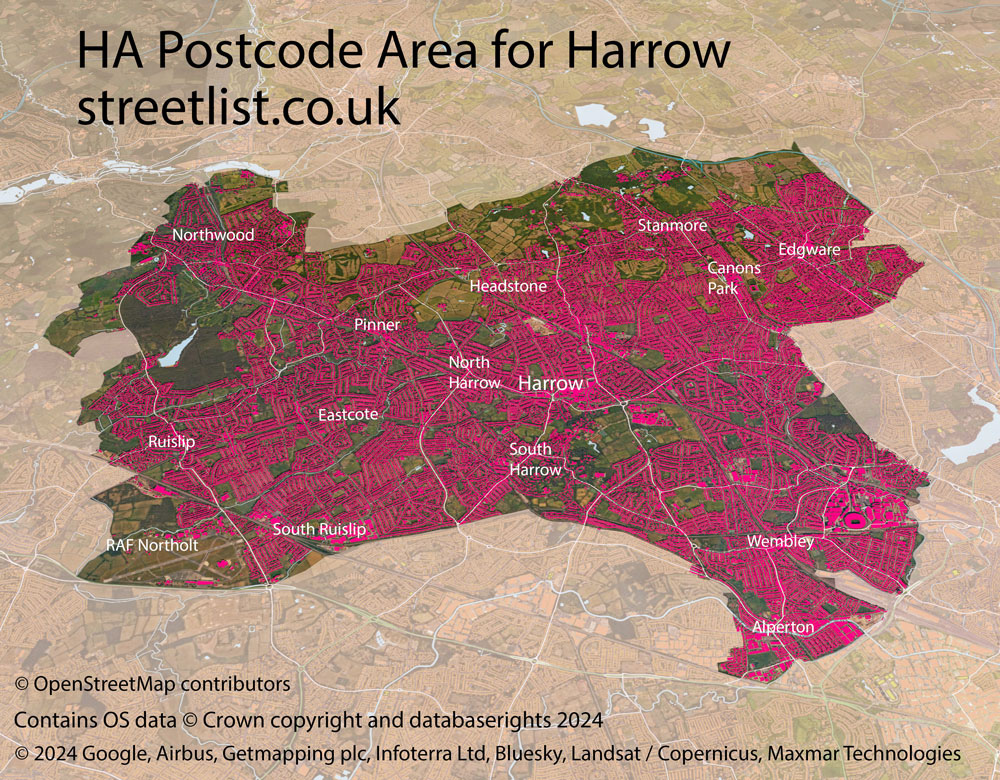
The HA postcode area represents a group of postal districts in the Harrow area of the United Kingdom. The area code HA stands for the letters h and a in HArrow. HA has a population of 480,953 and covers an area of 110,033 hectares. Fun fact: 0.74% of the population of Great Britain lives in this area.
The postcode area falls within the following counties: Greater London (98.55%), Hertfordshire (1.45%).
Post Towns and Postcode Districts for the HA Postcode
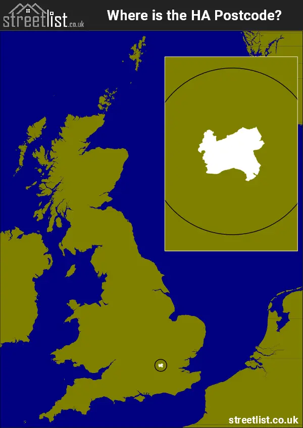
Where is the HA Postcode Area?
The Harrow HA Postcode is in the London Region. The postal area borders the following neighbouring postal areas: WD - Watford, NW - London - NW, W - London - W and UB - Uxbridge, and is located inland.
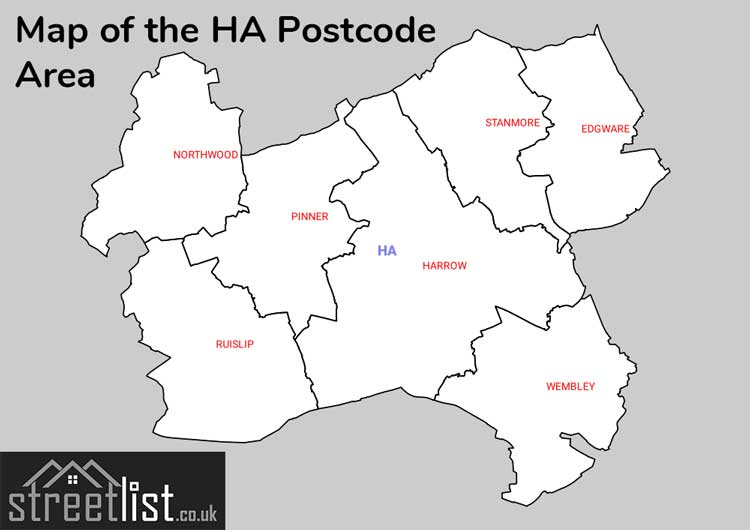
Map of the HA Harrow Postcode Area
Explore the HA Harrow postcode area by using our interactive map.
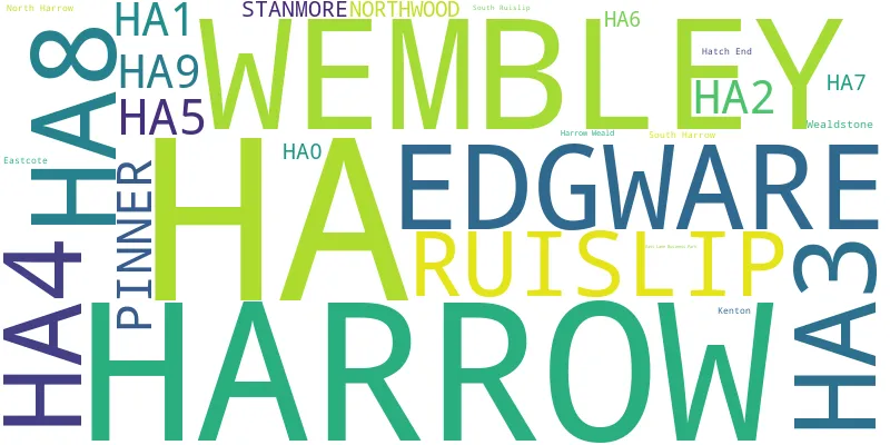
Postcode Districts within the HA Harrow Postcode Area
There are 10 postcode districts within the Harrow postcode area
A map showing the boundary of in relation to other areas
There are 2 towns within the Harrow postcode area.
| Unit | Area² |
|---|---|
| Hectares | 110,033² |
| Miles | 425² |
| Feet | 11,843,842,087² |
| Kilometres | 1,100² |
Postal Delivery Offices serving the HA Harrow Postcode Area
- Edgware Delivery Office
- Harrow Central Delivery Office
- Harrow Kenton & Weald Delivery Office
- Harrow North & South Delivery Office
- Northwood Delivery Office
- Pinner Delivery Office
- Ruislip Delivery Office
- Stanmore Delivery Office
- Wembley Highs Delivery Office
- Wembley Lows Delivery Office