WS Postcode Area for the Walsall Region
A wide range of spatial data has been analysed to present this overview. If you would like anything added, please contact us.
This section of the site is all about the WS Postcode area, also known as the Walsall Postal Area. Explore links to the next level to learn more about specific postcode districts such as WS1.
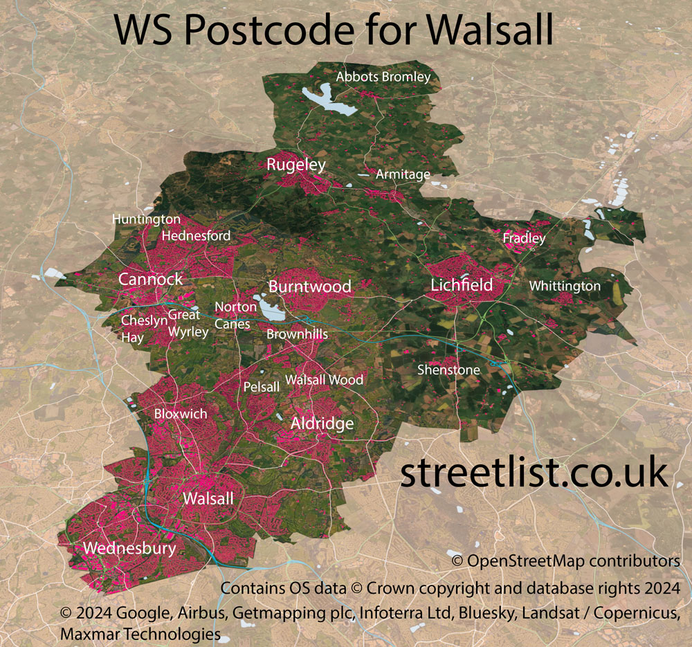
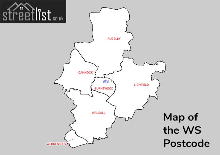
Map of the WS Postcode for Walsall
Map of the WS Walsall Postcode Area
Explore the postcode area by using our interactive map.
Quick Facts about the WS Postcode
| Width from East to West | 16.84 mi |
| Height from North to South | 21.32 mi |
| Area of WS | 183.84 mi² |
| Maximum Width | 22.74 mi |
| Perimeter of Postcode Area | 95.14 mi |
| Number of Postcode Districts | 15 |
| Number of Postcode Sectors | 63 |
| Number of Post Towns | 6 |
| Number of Postcodes | 10,164 |
The WS postcode area represents a group of 15 postal districts in the Walsall area of the United Kingdom. The area code stands for the letters w and s in WalSall. The area has a population of 449,687 and covers an area of 476,140 hectares. Fun fact: 0.69% of the population of Great Britain lives in this area.
The postcode area falls within the following counties: West Midlands (51.20%), Staffordshire (48.80%).
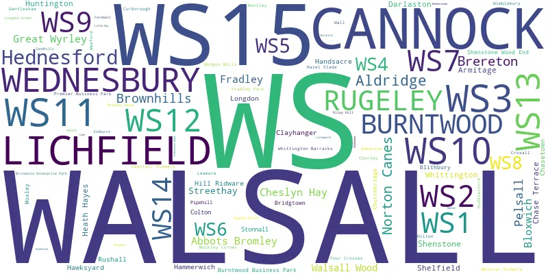
Post Towns and Postcode Districts
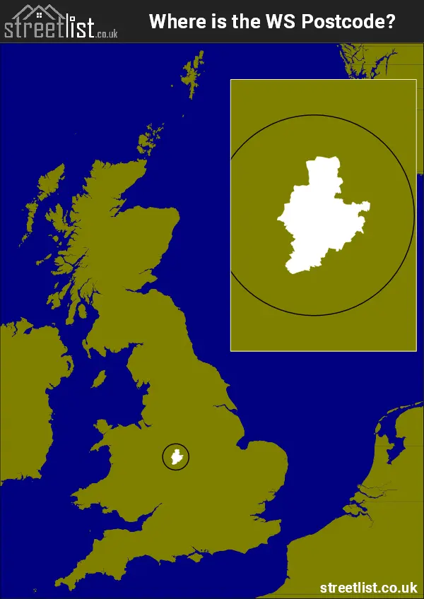
Where is the WS Postcode Area?
The Walsall WS Postcode is in the West Midlands of England.. The postal area borders the following neighbouring postal areas: DE - Derby, WV - Wolverhampton, B - Birmingham, ST - Stoke-on-Trent and DY - Dudley, and is located inland.
How built up is the Postcode Area?
I've calculated the total area covered by building footprints within the postcode area.
By analyzing this against the total area, I've determined the percentage of the area that's developed, this will give you an idea of how urban or rural the postcode region is.
The higher the percentage the more urban the area is. For example the least urban district is WS15 and the most urban is WS1.
| Postcode District | Total Area (m²) | Footprint Area (m²) | Built Percentage % |
|---|---|---|---|
| WS15 | 145,815,986 | 2,347,058 | 1.61% |
| WS14 | 62,239,419 | 1,300,201 | 2.09% |
| WS13 | 63,834,904 | 2,098,578 | 3.29% |
| WS12 | 35,989,724 | 1,487,643 | 4.13% |
| WS9 | 31,394,597 | 1,745,572 | 5.56% |
| WS7 | 19,843,518 | 1,495,525 | 7.54% |
| WS6 | 10,442,348 | 788,146 | 7.55% |
| WS8 | 10,162,123 | 809,565 | 7.97% |
| WS3 | 21,114,606 | 1,797,682 | 8.51% |
| WS4 | 7,729,601 | 664,746 | 8.60% |
| WS11 | 29,122,702 | 2,648,344 | 9.09% |
| WS5 | 7,893,271 | 841,551 | 10.66% |
| WS2 | 11,212,194 | 1,835,944 | 16.37% |
| WS10 | 13,870,449 | 2,493,564 | 17.98% |
| WS1 | 5,468,478 | 1,114,285 | 20.38% |
| Total | 476,133,920 (m²) | 23,468,404 (m²) | 4.93% |
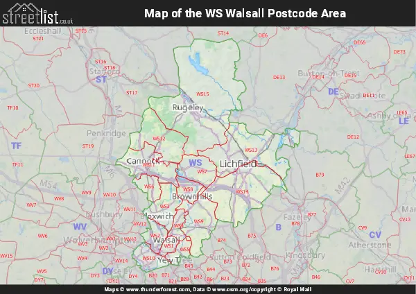
A map showing the boundary of WS in relation to other areas
There are 14 towns within the Walsall postcode area.
| Unit | Area² |
|---|---|
| Hectares | 476,140² |
| Miles | 1,838² |
| Feet | 51,251,233,460² |
| Kilometres | 4,761² |
Postal Delivery Offices Serving the Postcode Area
- Abbots Bromley Scale Payment Delivery Office
- Aldridge Delivery Office
- Cannock Delivery Office
- Landywood Delivery Office
- Lichfield Delivery Office
- Rugeley Delivery Office
- Shenstone Scale Payment Delivery Office
- Walsall Delivery Office
- Wednesbury Delivery Office
- Whittington Barracks Scale Payment Delivery Office
- Whittington Scale Payment Delivery Office
Tourist Attractions within the Area
We found 7 visitor attractions within the Walsall postcode area
| Cannock |
|---|
| Country Parks |
| Country Park |
| View Cannock on Google Maps |
| New Art Gallery |
| Museums & Art Galleries |
| Museum and / or Art Gallery |
| View New Art Gallery on Google Maps |
| Go Ape! Tree Top Adventure - Cannock Forest |
| Country Parks |
| Country Park |
| View Go Ape! Tree Top Adventure - Cannock Forest on Google Maps |
| ASTON MANOR ROAD TRANSPORT MUSEUM LTD |
| Museums & Art Galleries |
| Museum and / or Art Gallery |
| View ASTON MANOR ROAD TRANSPORT MUSEUM LTD on Google Maps |
| Beacon Park |
| Country Parks |
| Country Park |
| View Beacon Park on Google Maps |
| Erasmus Darwin House |
| Historic Properties |
| Historic House / House and Garden / Palace |
| View Erasmus Darwin House on Google Maps |
| Samuel Johnson Birthplace Museum & Bookshop |
| Museums & Art Galleries |
| Museum and / or Art Gallery |
| View Samuel Johnson Birthplace Museum & Bookshop on Google Maps |
Councils with Postcodes the Area
Towns and Villages within the Area
- Abbots Bromley - village
- Aldridge - town
- Armitage - village
- Bilston - town
- Blithbury - village
- Bloxwich - town
- Bromley Wood - otherSettlement
- Brownhills - town
- Burntwood - town
- Cannock - town
- Cannock Wood - village
- Cheslyn Hay - village
- Chorley - village
- Clayhanger - village
- Colton - village
- Curborough - otherSettlement
- Darlaston - town
- Edial - village
- Footherley - otherSettlement
- Four Crosses - village
- Fradley - village
- Fradley South - Settlement
- Gentleshaw - village
- Great Wyrley - village
- Hammerwich - village
- Hamstall Ridware - village
- Handsacre - village
- Hardwick - village
- Hatherton - otherSettlement
- Hazelslade - village
- Hill Ridware - village
- Huntington - village
- Lichfield - city
- Longdon - village
- Longdon Green - village
- Mill Green - village
- Muckley Corner - village
- Newtown - village
- Norton Canes - village
- Pelsall - village
- Pheasey - village
- Prospect Village - village
- Rawnsley - village
- Royal Sutton Coldfield - town
- Rugeley - town
- Rushall - village
- Shelfield - village
- Shenstone - village
- Shenstone Woodend - village
- Slitting Mill - village
- Springhill - otherSettlement
- Stonnall - village
- Streethay - village
- Streetly - Settlement
- Tipton - town
- Upper Longdon - village
- Wall - village
- Walsall - town
- Wednesbury - town
- Weeford - village
- West Bromwich - town
- Whittington - village
- Willenhall - town