This section of the site is all about the OL Postcode area, also known as the Oldham Postal Area. Explore links to the next level to learn more about specific postcode districts such as OL1.
The OL postcode area represents a group of postal districts in the Oldham area of the United Kingdom. The area code OL stands for the letters o and l in OLham. OL has a population of 462,833 and covers an area of 400,178 hectares. Fun fact: 0.71% of the population of Great Britain lives in this area.
The postcode area falls within the following counties: Greater Manchester (88.01%), Lancashire (6.32%), West Yorkshire (5.67%).
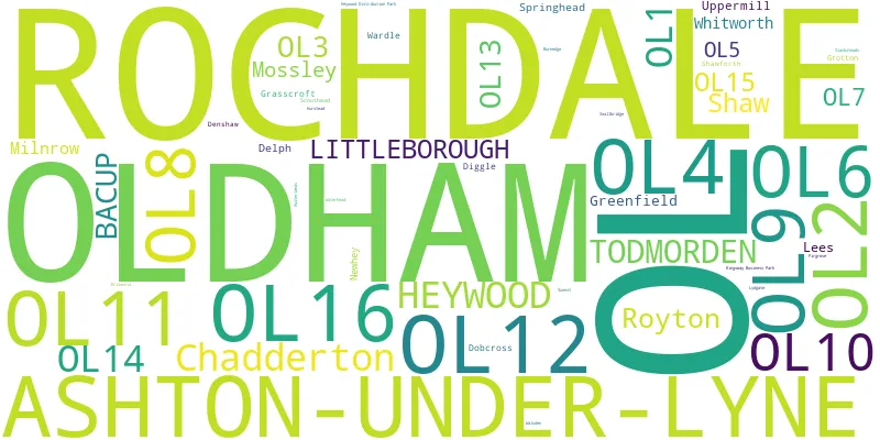
Post Towns and Postcode Districts for the OL Postcode
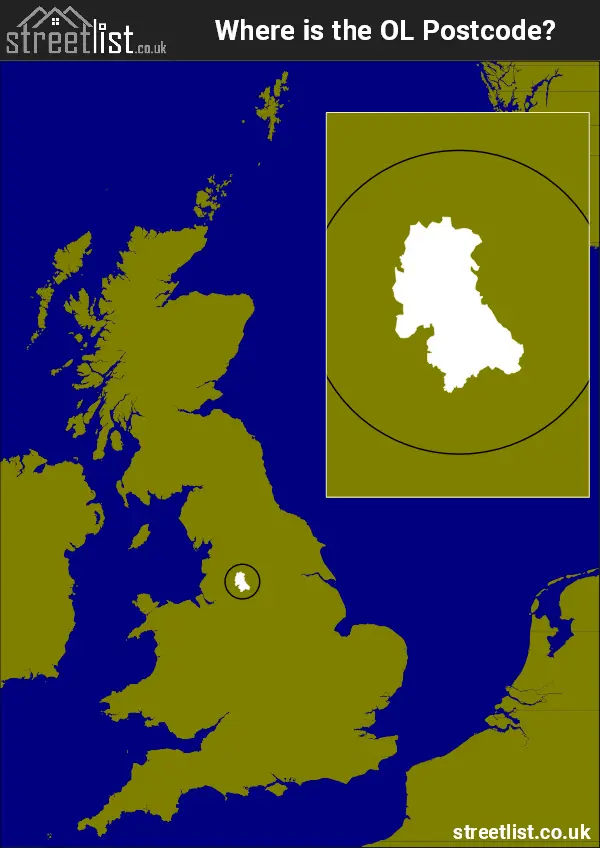
Where is the OL Postcode Area?
The OL Oldham Postcode is in the North West of England. The postal area borders the following neighbouring postal areas: HD - Huddersfield, SK - Stockport, BL - Bolton, BB - Blackburn, HX - Halifax and M - Manchester, and is located inland.
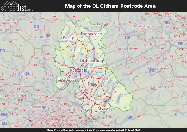
Map of the OL Oldham Postcode Area
Explore the OL Oldham postcode area by using our interactive map.
Postcode Districts within the OL Oldham Postcode Area
There are 16 postcode districts within the Oldham postcode area
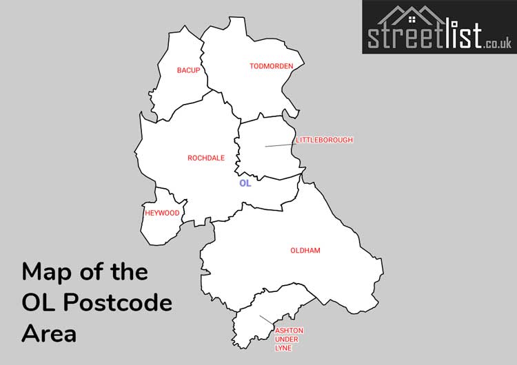
A map showing the boundary of in relation to other areas
There are 21 towns within the Oldham postcode area.
| Unit | Area² |
|---|---|
| Hectares | 400,178² |
| Miles | 1,545² |
| Feet | 43,074,759,742² |
| Kilometres | 4,002² |
Postal Delivery Offices serving the OL Oldham Postcode Area
- Ashton Under Lyne Delivery Office
- Bacup Delivery Office
- Delivery Office Bcross Scale Payment Delivery Office
- Greenfield Scale Payment Delivery Office
- Heywood Delivery Office
- Oldham Delivery Office
- Rochdale Delivery Office
- Todmorden Delivery Office
- Uppermill Scale Payment Delivery Office
Councils with Postcodes in OL
Towns and Villages within the OL Oldham Postcode Area
- Ashton-under-Lyne - town
- Audenshaw - Urban Area
- Bacup - town
- Birch - village
- Burnedge - village
- Chadderton - town
- Chadderton Fold - village
- Delph - village
- Denshaw - village
- Diggle - village
- Dobcross - village
- Droylsden - town
- Dukinfield - town
- Failsworth - town
- Grains Bar - village
- Grasscroft - village