This section of the site is all about the BL Postcode area, also known as the Bolton Postal Area. Explore links to the next level to learn more about specific postcode districts such as BL0.
The BL postcode area represents a group of postal districts in the Bolton area of the United Kingdom. The area code BL stands for the letters b and l in BoLton. BL has a population of 380,259 and covers an area of 296,984 hectares. Fun fact: 0.59% of the population of Great Britain lives in this area.
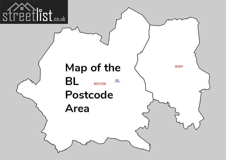
The postcode area falls within the following counties: Greater Manchester (96.51%), Lancashire (3.49%).
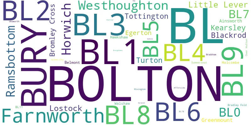
Post Towns and Postcode Districts for the BL Postcode
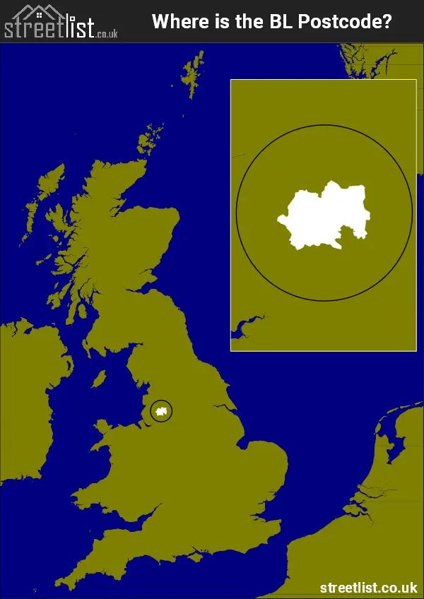
Where is the BL Postcode Area?
The Bolton BL Postcode is in the North West of England. The postal area borders the following neighbouring postal areas: PR - Preston, WN - Wigan, OL - Oldham, BB - Blackburn and M - Manchester, and is located inland.
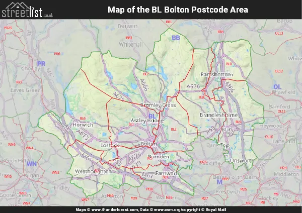
Map of the BL Bolton Postcode Area
Explore the BL Bolton postcode area by using our interactive map.
Postcode Districts within the BL Bolton Postcode Area
There are 10 postcode districts within the Bolton postcode area
A map showing the boundary of in relation to other areas
There are 14 towns within the Bolton postcode area.
| Unit | Area² |
|---|---|
| Hectares | 296,984² |
| Miles | 1,147² |
| Feet | 31,967,060,776² |
| Kilometres | 2,970² |
Postal Delivery Offices serving the BL Bolton Postcode Area
- Belmont Scale Payment Delivery Office
- Bolton North Delivery Office
- Bolton West Delivery Office
- Bury Delivery Office
- Farnworth Delivery Office